Six days after leaving Shearwater, we crossed the border into Alaska!
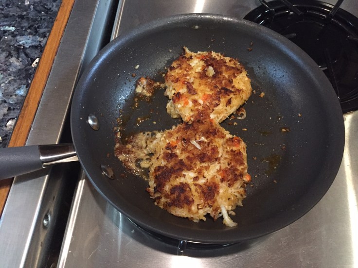
Before leaving Shearwater, we walked to the grocery store, picked up a few provisions, and dropped off our trash and recycle items. We motored to the fuel dock and added 800 liters of diesel fuel to the tanks, ensuring we had plenty to get to Ketchikan. We had a fairly long day of cruising since we decided to go off plan to Bottleneck Inlet, a highly recommended anchorage. On the way we saw Pacific white-side dolphins playing in another boat’s wake. We had our anchor down by 6pm, along with five other boats. Bottleneck Inlet has a narrow entrance, thus its name. It is a very beautiful anchorage. We made crab cakes from our recent catch for dinner.
We were the last boat to leave Bottleneck Inlet the next morning. The tide really affects the speed of Fiddler, so I will use it to my advantage. We left the anchorage on a flood tide that gave us up to 2 knots of additional speed. This is significant since we typically cruise at 7.5 knots. Leaving on an ebb would make for a very long day. As we cruised past the dilapidated cannery town of Butedale, I got a text from Tim asking me how I liked Butedale! I was a little freaked at first, then realized he was tracking our position on the Garmin satellite communicator map and messaged us from the web site they provide. Shearwater was the first town where we had cell phone service since leaving Desolation Sound. We won’t have service again until we get to Prince Rupert, BC. I’m glad to have the Garmin. Anyway, I was happy to tell Tim that we just saw a humpback whale! At home, one way we can find the whales is by looking for the whale watching boats. Up here, there are no whale watching boats and we never know when we will see a spout. I happened to be looking in the right direction at the right time. We weren’t fast enough to get any pics. We pushed on through the rain to Hartley Bay and dropped anchor for the night.
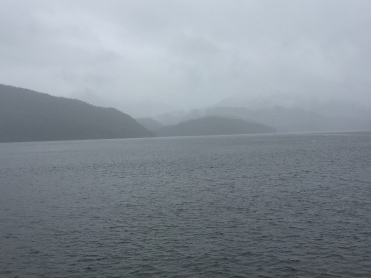
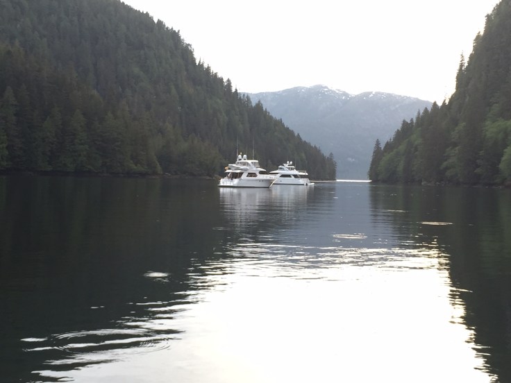
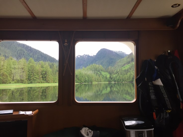
Grenville Channel is a 45 mile long and narrow north/south waterway, sometimes called “the ditch”. It is interesting that the tide flows in and out both ends at the same time. In other words, during a flood tide, the water flows in from the north and also in from the south, with the tide meeting somewhere in the middle. During an ebb tide, the water flows out both ends. I timed our departure from Hartley Bay to have the flood tide and associated current with us going up the channel. Our anchorage for the night was about three quarters of the way up the channel. It is much wider at the north end and the tidal currents are consequently slower. Our anchorage for the night was Baker Inlet, a fjord surrounded by mountains that can only be reached by transiting a very narrow reversing tidal rapids. We got there a couple of hours before the slack current. I checked it through the binoculars and it didn’t look too difficult. We went through and it was a mistake. The current pushed us to one side then the other. Had it not been high tide with the additional 15 feet of water depth we may have been in trouble. But we made it through. I’ll wait for slack from now on. We anchored in 60 feet, fairly deep, with 275 feet of chain out. I’ve started to watch the weather for crossing Dixon Entrance into Alaska, the second open ocean section. It doesn’t look good with gale warnings predicted for the next week.
We left Baker Inlet at slack in the afternoon, and the water was barely moving through the narrows, then turned north to head to Prince Rupert, BC., the largest town in northern BC. The marina we intended to dock at was full of boaters waiting out the weather. They put us on the outside of the breakwater where we were exposed to wind and the wakes of passing boats. Not a fun place to be. The next day they moved us inside the marina. But we decided to find an anchorage further north instead.
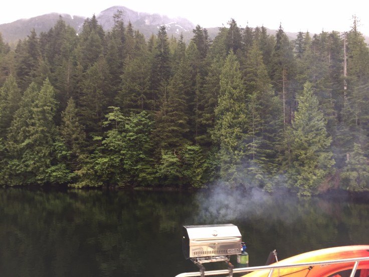
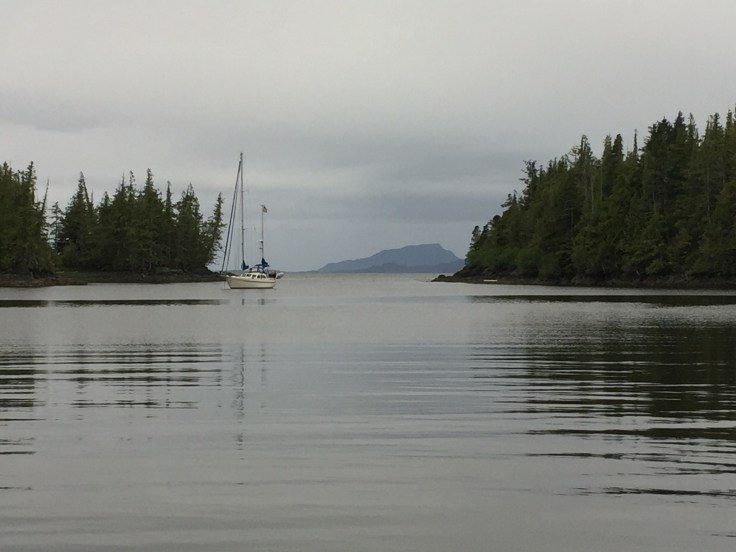
We left Prince Rupert and anchored at Dundas Island, right on Dixon Entrance. That way we would be able to see the conditions in the morning before deciding whether to go across or not. The wind was blowing 20+ knots on the way to Dundas Island and the waves were fairly tall. But the wind was behind us and the waves were with us so the sea state was tolerable. Not so if we were going the other direction. The next morning I listened to the latest weather report on the VHF radio. Dixon Entrance was under a gale warning, which means winds exceed 35 knots. But the current buoy report said winds were only 12 knots and the wave height was only 3 feet. So we decided to weigh anchor at 6am and go see for ourselves what it looked like. Of course, the buoy report was correct and we decided to cross. It was easier than the trip to Dundas Island yesterday. We crossed into Alaska and anchored at Foggy Bay at 9:30am. In order to legally anchor without clearing Customs, I called the Ketchikan Customs office while we were in Prince Rupert to ask permission to anchor at Foggy Bay, which they granted. Not long after we anchored, the winds picked up and the conditions at Dixon Entrance were very bad. Several other boats stopped in Foggy Bay too, a protected anchorage about 35 miles from Ketchikan. There was a view of the sea conditions from the anchorage so I could easily see the water churning during the gale. While checking the conditions, I spotted a humpback whale just outside the anchorage. We never know when or where they will appear.
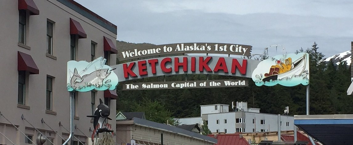
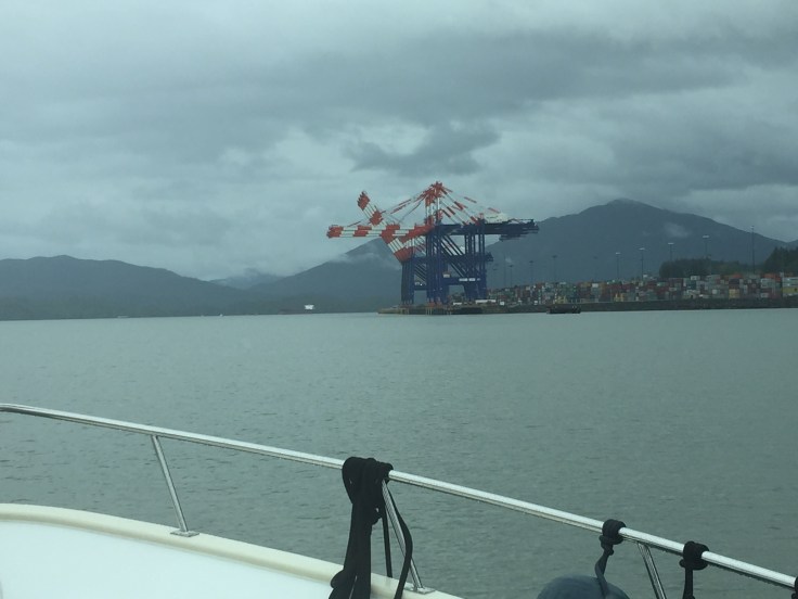
The storm blew through overnight and conditions were good in the morning for going to Ketchikan. We got a slip at Thomas Basin marina where I will be until Cathleen joins on June 9th. We are five days ahead of schedule. Alec and I donned our rain gear and walked around town. The next day the weather was much better, but not for long in a city that gets 12 feet of rain per year. It caters to the cruise ship passengers, but also has an interesting history. Alec flew home on the 6th. It was great having him on board for three weeks.


